Larapinta Drive and Namatjira Drive string the gaps together. You can do the near half in a morning and the far half in a long day.
Tourism NT describes Tjoritja / West MacDonnell National Park as stretching about 160 km west of Alice Springs, with hikes, mountain-bike trails, swimming holes and Aboriginal cultural sites. From the hotel you cross the Todd, pick up Larapinta Drive past the Desert Park, and keep going. Distances below are by road from the hotel.
In order along the road
- 24kmSimpsons Gap
One of the most prominent gaps in the range. Look up at the rocks near the permanent waterhole for black-footed rock-wallabies.
- 50kmStandley Chasm / Angkerle Atwatye
Owned and run by the local Arrernte community; the only privately owned part of the West MacDonnell Ranges. Entry fee. A 20-minute return walk along a creek bed to walls up to 80 metres high.
- 91kmEllery Creek Big Hole
A waterhole fed from the range; one of the swimming spots Tourism NT names.
- 113kmOchre Pits
Earth in bands of colour; a sacred site still in use. Look, do not take.
- 133kmGlen Helen Gorge
A gorge with a waterhole and a refuge for wildlife; a place for a cool dip.
- 136kmOrmiston Gorge
Another waterhole fed by the range, deep in the park.
- 157kmRedbank Gorge / Rutjupma
A gorge and chasm that shelters threatened plants and animals. Tourism NT suggests bringing an inner tube to float through.
Standley Chasm: timing is the whole trick
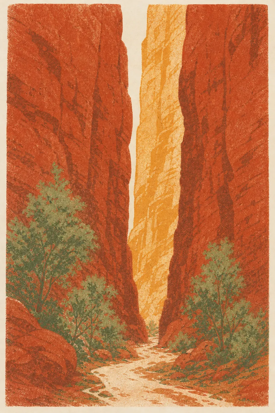
Tourism NT suggests arriving around noon, when the sun is overhead and the vertical walls glow gold. The Chasm's own site says it is a 40-minute drive west of Alice on sealed road, via Larapinta Drive. Opening hours, read on its site: Monday to Saturday 8am to 5pm with last entry at 4.30pm; Sunday 8am to 2pm with last entry at 1.30pm. The walk is described as a 20-minute return on the directions and admission pages, and as 30 minutes and 2.4 km round trip on the home page. Allow the longer figure.
- Alcohol is not permitted on the premises.
- Picnics are fine; the barbecue areas are for campers only.
- There is a kiosk. Campers order dinner by 4.30pm.
- Student and pensioner discounts apply to entry.
- Larapinta Trail walkers can leave a car overnight for $5 a night. Standley Chasm.
The Larapinta Trail
The Larapinta Trail runs 223 km along the range, per Tourism NT. Sections 3 and 4 pass inside the Standley Chasm gates, and the Chasm offers food drops at $5 a box, collected between 7am and 6pm. You do not have to walk the whole trail to use it: a morning out and back on one of the sections near Standley gives you the ridge views without carrying a tent.
A sample day, near half
| Time | Where | Why then |
|---|---|---|
| 6.00 | Breakfast at Tali | The buffet opens at 6am |
| 7.00 | Leave the hotel | Cool air, low sun behind you heading west |
| 7.30 | Simpsons Gap | Wallabies are easier to spot in early light |
| 9.30 | Back to Larapinta Drive, west to Standley Chasm | The Chasm opens at 8am |
| 11.30–12.30 | Walk into the chasm | The noon glow on the walls |
| 13.30 | Picnic lunch, then drive back | Avoid the walk in the hottest part of the day |
| 15.00 | Pool and Splash Cafe | The café serves until 6pm |
A sample day, far half
Leave by 7am. Drive straight to Ormiston Gorge (136 km), walk while it is still cool, swim if the waterhole is open, then work back east: Glen Helen, the Ochre Pits, Ellery Creek Big Hole. You will put about 280 km on the car. Back at the hotel by late afternoon, Tali opens for dinner at 6pm.
Passes and permits
Tourism NT says interstate and overseas visitors need an NT Parks Visitor Pass for most parks and reserves in the Territory, bookable online. Standley Chasm charges its own entry. If your tour includes the park, the pass may be included; check with the operator. Passes and permits, Tourism NT.
- Carry for a West Macs day
- Water: two litres per person is Tourism NT's daily minimum; plan on more if you walk
- Lunch and snacks: there is no shop at most gaps
- Sturdy shoes: creek beds are loose rock and sand
- A fly net: you will be glad of it from spring onwards
- Swimmers and a towel, in case a waterhole is open
- Tell someone your route and when you expect to be back
Water levels and closures change. Read local advice before you swim, and stay on marked tracks. For the east side of town, see East MacDonnell Ranges.